Heidarspordar
割れ目火口 · Iceland · 490m
- タイプ
- 割れ目火口
- 国
- Iceland
- 地域
- 大西洋 / Iceland Neovolcanic Rift Volcanic Province
- 標高
- 490m
- 座標
- 65.583, -16.817
- 最終噴火
- -300年
- テクトニクス環境
- Rift zone / Oceanic crust (< 15 km)
- 火山地形
- Cluster
地質学的概要
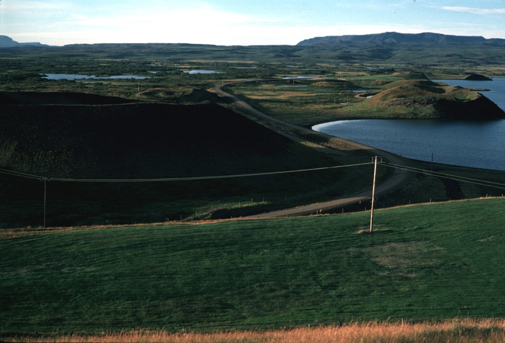
The Heiðarsporðar volcanic system in the Northern Volcanic Zone is about 22 km long, consisting of a fissure swarm and a central volcano. It is embryonic, starting to develop in the marginal area of two adjacent fissure areas, Krafla and Fremrinámar, producing large-volume eruptions. No geothermal activity is present. Magma composition ranges from olivine-tholeiite through tholeiitic basalt and basaltic andesite to dacite. Characteristic activity consists of effusive basaltic eruptions and small predominantly effusive silicic eruptions. It has shown rather low activity in the Holocene but has produced substantial basaltic lava flows. Two eruptive periods have occurred in Holocene time separated by over 8,000 years. The last eruption took place about 2,200 years ago, producing a lava flow covering about 220 km2 and extending 60 km from source.
Wikipedia の要約
英語版の要約The Heiðarsporðar volcanic system is located in northeast Iceland near Lake Mývatn. It is the source of numerous formations present in and around the lake, particularly in the form of pseudocraters.
Wikipedia · CC BY-SA · 記事全文を読む →
噴火履歴
詳細タイムライン
- 紀元前 300年VEI 2地質学的推定BCE 300 ~ 進行中Threngslaborgir-Ludentsborgir crater row
- 紀元前 4050年VEI 0地質学的推定BCE 4050 ~ 進行中Ludent crater rows
- 紀元前 5750年VEI 0地質学的推定BCE 5750 ~ 進行中Fjarborg
- 紀元前 6150年VEI 0地質学的推定BCE 6150 ~ 進行中Drangagrundahraun
- 紀元前 6950年VEI 0地質学的推定BCE 6950 ~ 進行中Hraunbunga
- 紀元前 7400年 (±300年)VEI 0地質学的推定BCE 7400 ~ 進行中Heidarspordur
- 紀元前 7850年VEI ?地質学的推定BCE 7850 ~ 進行中Ludent, Namafjall-Krofluhals
外部リンク
⚠ 参考情報です。緊急対応には使用しないでください。