ヤング島
Young Island
成層火山 · Antarctica · 1340m
- タイプ
- 成層火山
- 国
- Antarctica
- 地域
- 南極・スコシア / Balleny Hotspot Volcano Group
- 標高
- 1340m
- 座標
- -66.420, 162.470
- 最終噴火
- 不明
- テクトニクス環境
- Rift zone / Oceanic crust (< 15 km)
- 火山地形
- Composite
- 主要岩石
- Trachybasalt / Tephrite Basanite
地質学的概要
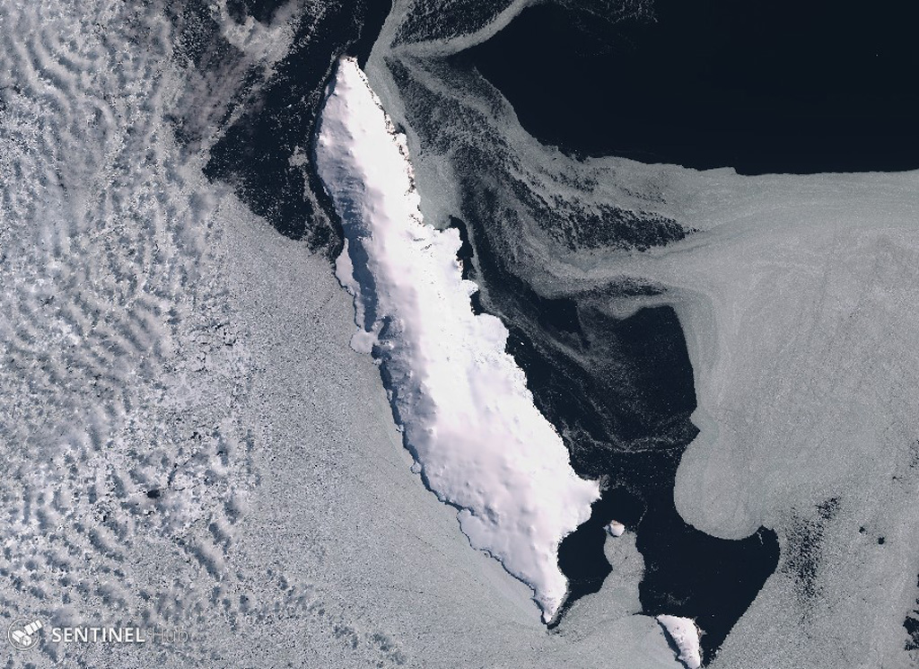
Young Island is the northernmost and second largest of the Balleny Islands off the coast of Antarctica's Victoria Land. Captain Balleny, the discoverer of the islands, reported "smoke" issuing from Freeman Peak on Young Island on 12 February 1839. The island, almost completely mantled by ice, has a broad plateau-like summit reaching 1340 m.
Wikipedia の要約
英語版の要約Young Island is the northernmost and westernmost of the three main islands in the uninhabited Balleny Islands group located in the Southern Ocean. It lies 8 kilometres (5.0 mi) northwest of Buckle Island, some 115 kilometres (71 mi) north-northeast of Belousov Point on the Antarctic mainland.
Wikipedia · CC BY-SA · 記事全文を読む →
噴火履歴
詳細タイムライン
噴火記録はありません。
外部リンク
⚠ 参考情報です。緊急対応には使用しないでください。