Fort Portal
Fort Portal Volcanic Field
화산대지 · Uganda · 1615m
- 화산 유형
- 화산대지
- 국가
- Uganda
- 지역
- 동아프리카 / Albertine Rift Volcanic Province
- 해발
- 1615m
- 좌표
- 0.700, 30.250
- 마지막 분화
- -2120년
- 판구조 환경
- Rift zone / Continental crust (> 25 km)
- 화산 지형
- Cluster
- 주요 암석
- Foidite
지질학적 요약
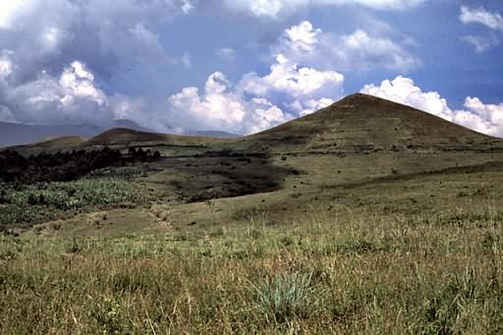
The carbonatite lavas and tuffs of the Fort Portal Volcanic Field in Uganda, NE of Mount Ruwenzori between Lake Albert and Lake Edward, consists of a group of tuff cones and maars covering an area of about 145 km2. About 50 volcanic vents, some of which now contain crater lakes, were erupted through Precambrian gneiss in an WSW-ENE-trending area north of the town of Fort Portal. Several additional vents are located in the Kasekere (Rusekere) area to the NE. Radiocarbon dates of about 4,700-4,000 years ago were obtained from ash deposits in the volcanic field. Holmes (1950) noted that Kasensankaranga Crater in the Fort Portal area means "spewer of roasted material," implying observed activity.
분화 이력
상세 타임라인
- 기원전 2120년 (±100년)VEI ?지질학적 추정BCE 2120 ~ 진행 중
- 기원전 2750년 (±75년)VEI ?지질학적 추정BCE 2750 ~ 진행 중
외부 링크
- 한국어 Wikipedia에 아직 기사가 없습니다. Wikidata에서 작성할 수 있습니다.
- 🔗 Smithsonian GVP 원본 페이지
⚠ 참고용 정보입니다. 재난 대응에 사용하지 마세요.