본문으로 건너뛰기

Harras of Dhamar

Dhamar, Harras of

화산대지 · Yemen · 3500m

The Harras of Dhamar volcanic field is shown in this December 2019 Planet Labs satellite image monthly mosaic (N is at the top; this image is approximately 51 km across). The field contains many scoria cones and associated lava flows, with some older obsidian lava flows. Many of the cones have amphitheater-shaped craters due to flank collapse or rafting.
The Harras of Dhamar volcanic field is shown in this December 2019 Planet Labs satellite image monthly mosaic (N is at the top; this image is approximately 51 km across). The field contains many scoria cones and associated lava flows, with some older obsidian lava flows. Many of the cones have amphitheater-shaped craters due to flank collapse or rafting. · 사진: Satellite image courtesy of Planet Labs Inc., 2019 (https://www.planet.com/).
화산 유형
화산대지
국가
Yemen
지역
Arabia-Central Asia Volcanic Regions / Southwest Arabia Volcanic Province
해발
3500m
좌표
14.570, 44.670
마지막 분화
미확인
판구조 환경
Intraplate / Continental crust (> 25 km)
화산 지형
Cluster
주요 암석
Basalt / Picro-Basalt
지질학적 요약

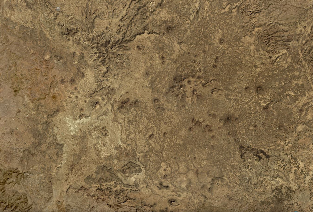
The lava fields surrounding the town of Dhamar are part of a volcanic field extending 80 km E that includes several stratovolcanoes and many youthful volcanic cones. Basaltic lava flows overlie older rhyolitic flows. Residents near Dhamar "spoke of a volcanic eruption that must have taken place in 1937 near the town" (von Wissmann, 1942; Rathjens and von Wissmann, 1942; cited in Neumann van Padang, 1963); this supposed activity has not been confirmed, located, or described by later work.

Wikipedia 요약

영어 요약

요약이 짧습니다. 자세한 내용은 전체 기사를 확인하세요.

The Harras of Dhamar is a volcanic field in Yemen.

Wikipedia · CC BY-SA · 전체 기사 보기

분화 이력

요약 (VEI 시계열)
막대를 클릭하면 개별 분화가 표시됩니다
1937~1937 · 1건 · 최고 VEI 219371937193819381938

상세 타임라인

  1. 1937년VEI 2관측 기록
    1937 ~ 진행 중
    Near the town of Dhamar

외부 링크

⚠ 참고용 정보입니다. 재난 대응에 사용하지 마세요.