Traitor's Head
성층화산 · Vanuatu · 817m
- 화산 유형
- 성층화산
- 국가
- Vanuatu
- 지역
- 남서태평양 / Vanuatu Volcanic Arc
- 해발
- 817m
- 좌표
- -18.754, 169.238
- 마지막 분화
- 1881년
- 판구조 환경
- Subduction zone / Intermediate crust (15-25 km)
- 화산 지형
- Composite
- 주요 암석
- Basalt / Picro-Basalt
지질학적 요약
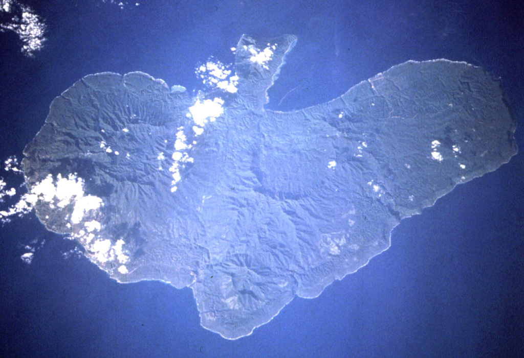
The Traitor's Head peninsula north of Cook Bay on eastern Erromango Island is comprised of three Holocene volcanic cones that are the youngest on the 50-km-long island. Mounts Rantop, Nagat, and Oulenou are small basaltic-to-andesitic stratovolcanoes with well-preserved morphologies. Rantop is the largest, but Oulenou is the most youthful looking, with an unbreached crater. A low plateau to the NW is underlain by ash deposits distributed by southeasterly trade winds. The volcanoes initially formed an offshore island that was joined to the mainland by uplift after volcanism ceased. A submarine vent offshore between the tip of the peninsula and Goat Island, 5 km to the NE, erupted in 1881, the only recorded activity of the Erromango volcanoes.
분화 이력
상세 타임라인
- 1959년VEI ?지질학적 추정1959-07-02 ~ 진행 중Four submarine vents N of Erromango
- 1881년VEI 0관측 기록1881-07-02 ~ 진행 중NE flank submarine vent
외부 링크
- 한국어 Wikipedia에 아직 기사가 없습니다. Wikidata에서 작성할 수 있습니다.
- 🔗 Smithsonian GVP 원본 페이지
⚠ 참고용 정보입니다. 재난 대응에 사용하지 마세요.