파투하산
Patuha
성층화산 · Indonesia · 2422m
- 화산 유형
- 성층화산
- 국가
- Indonesia
- 지역
- 순다·반다 / Sunda Volcanic Arc
- 해발
- 2422m
- 좌표
- -7.162, 107.400
- 마지막 분화
- 미확인
- 판구조 환경
- Subduction zone / Continental crust (> 25 km)
- 화산 지형
- Composite
- 주요 암석
- Andesite / Basaltic Andesite
지질학적 요약
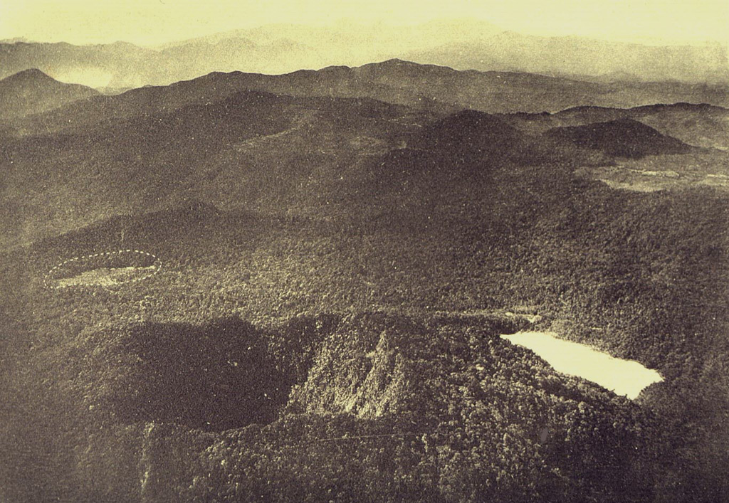
The forested andesitic Gunung Patuha rises SW of the plain of Bandung in western Java. Patuha is the northern peak of a roughly 5-km-long N-S volcanic massif, and has a 300 m crater at the summit. A few hundred meters down the SE flank is a 400 x 500 m crater almost completely filled with a shallow greenish lake, Kawah Putih. Sulfur deposits are present around the shoreline and near active fumaroles on the crater walls. A large debris-avalanche deposit extends down the NE flank. The volcano was formed during the late Pleistocene, but no Holocene eruptions are known.
분화 이력
상세 타임라인
분화 기록이 없습니다.
외부 링크
⚠ 참고용 정보입니다. 재난 대응에 사용하지 마세요.