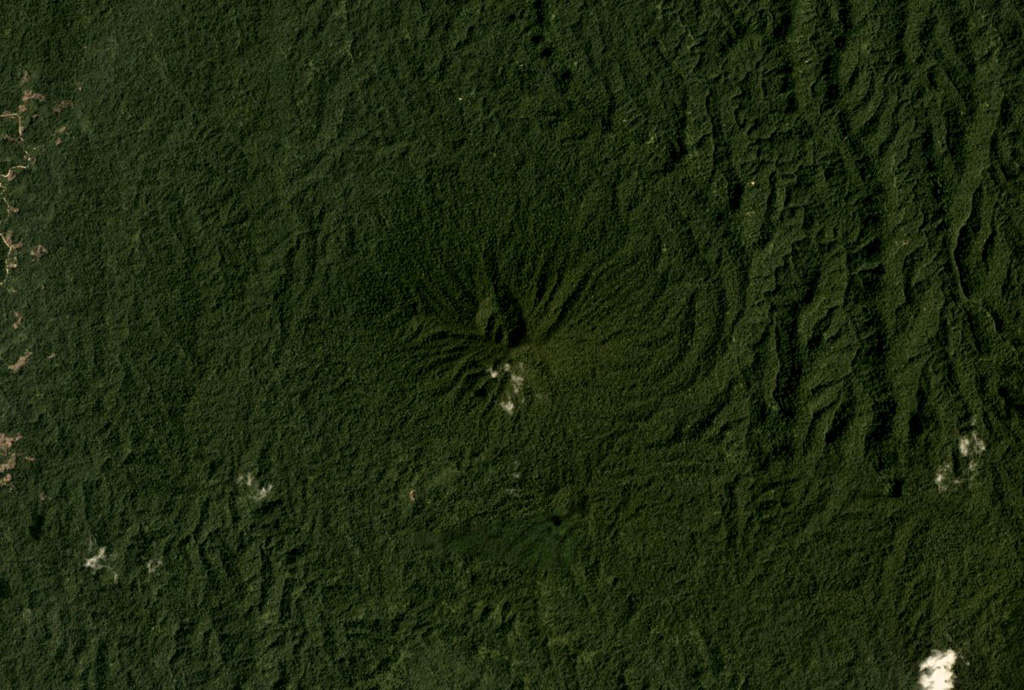
Tobaru
성층화산 · Indonesia · 1035m
- 화산 유형
- 성층화산
- 국가
- Indonesia
- 지역
- 서태평양 / Halmahera Volcanic Arc
- 해발
- 1035m
- 좌표
- 1.630, 127.670
- 마지막 분화
- 미확인
- 판구조 환경
- Subduction zone / Oceanic crust (< 15 km)
- 화산 지형
- Composite
- 주요 암석
- Andesite / Basaltic Andesite
지질학적 요약
Gunung Tobaru, also known as Lolodai, is located in northern Halmahera WSW of Dukono and NNE of Ibu. Supriatna (1980) mapped the little known andesitic volcano as Holocene.
분화 이력
상세 타임라인
분화 기록이 없습니다.
외부 링크
⚠ 참고용 정보입니다. 재난 대응에 사용하지 마세요.