Mount Hiri
Hiri
성층화산 · Indonesia · 687m
- 화산 유형
- 성층화산
- 국가
- Indonesia
- 지역
- 서태평양 / Halmahera Volcanic Arc
- 해발
- 687m
- 좌표
- 0.897, 127.317
- 마지막 분화
- 미확인
- 판구조 환경
- Subduction zone / Oceanic crust (< 15 km)
- 화산 지형
- Composite
- 주요 암석
- Basalt / Picro-Basalt
지질학적 요약
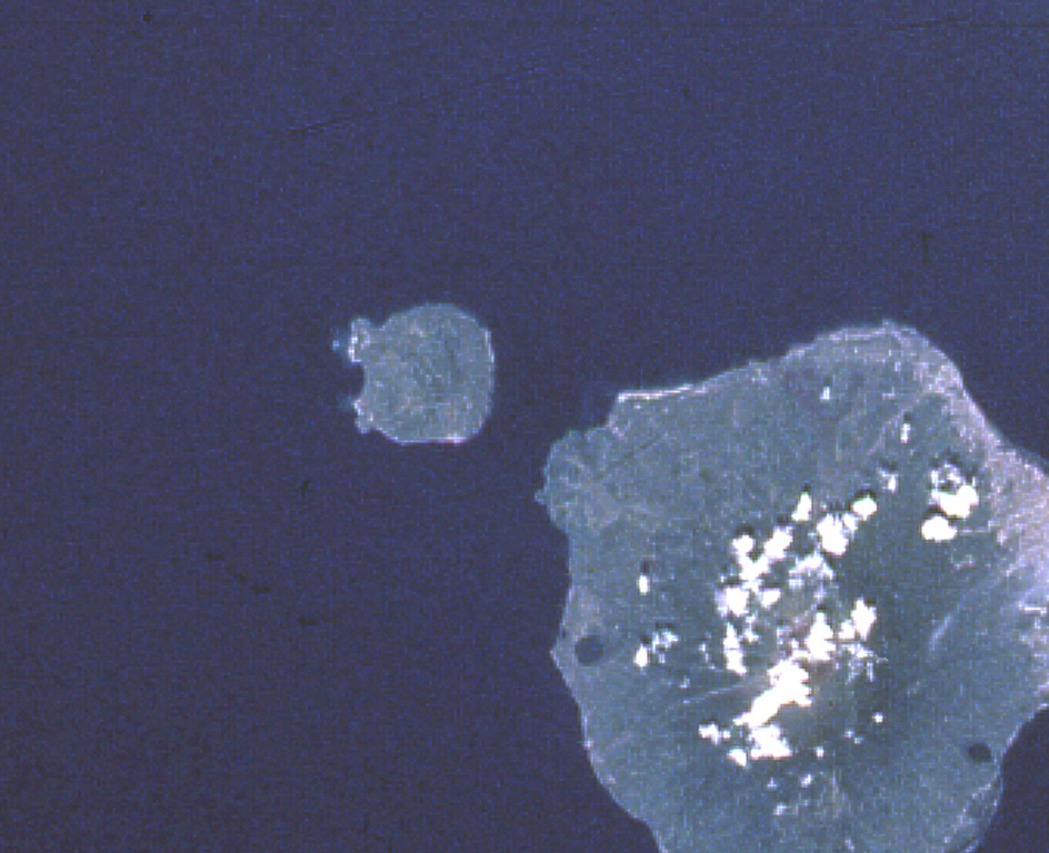
Hiri is a 3-km-wide forested island immediately north of Gamalama on Ternate Island, and is the northernmost of a chain of volcanic islands off the western coast of Halmahera. Two conical volcanic edifices are present within a larger caldera open to the W. Apandi and Sudana (1980) mapped it as Holocene in age, but no eruptions have been dated or reported.
분화 이력
상세 타임라인
분화 기록이 없습니다.
외부 링크
⚠ 참고용 정보입니다. 재난 대응에 사용하지 마세요.