후쿠에섬
Fukue
화산대지 · Japan · 315m
- 화산 유형
- 화산대지
- 국가
- Japan
- 지역
- 서태평양 / Nankai Volcanic Arc
- 해발
- 315m
- 좌표
- 32.657, 128.849
- 마지막 분화
- -400년
- 판구조 환경
- Subduction zone / Continental crust (> 25 km)
- 화산 지형
- Cluster
- 주요 암석
- Basalt / Picro-Basalt
지질학적 요약
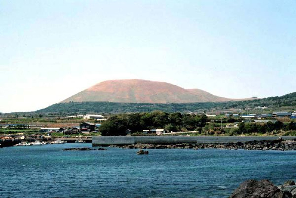
A group of small olivine basaltic shield volcanoes and cinder cones lies at the eastern end of Fukuejima in the Goto Islands off the western coast of Kyushu. Activity at the Fukue volcano group began about 900,000 years ago, and the latest activity took place about 2,000-3,000 years ago (Nakano et al., 2001-). The volcanic field, whose high point is the Onidake cinder cone (about 300 m elevation), forms peninsulas at the E and SE tips of Fukue Island as well as several smaller islands to the SE.
분화 이력
요약 (VEI 시계열)
막대를 클릭하면 개별 분화가 표시됩니다
상세 타임라인
- 기원전 400년VEI ?지질학적 추정BCE 400 ~ 진행 중Hino-take
외부 링크
⚠ 참고용 정보입니다. 재난 대응에 사용하지 마세요.