Tebenkova
Odamoisan [Tebenkov]
성층화산 · Japan - administered by Russia · 1208m
- 화산 유형
- 성층화산
- 국가
- Japan - administered by Russia
- 지역
- Northwestern Pacific Volcanic Regions / Kuril Volcanic Arc
- 해발
- 1208m
- 좌표
- 45.028, 147.918
- 마지막 분화
- 미확인
- 판구조 환경
- Subduction zone / Intermediate crust (15-25 km)
- 화산 지형
- Composite
지질학적 요약
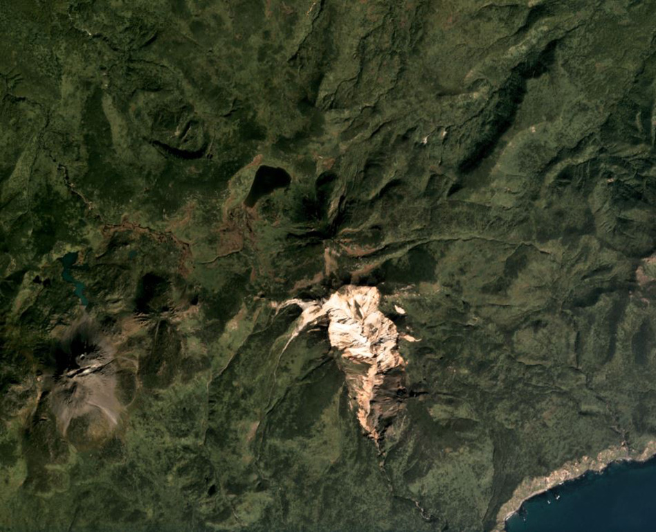
Odamoisan (also known as Tebenkov), lies in the center of Iturup Island along the E coast. This forested andesitic volcano lies immediately NE of the Etorofu-Yakeyama (Ivan Grozny) dome complex. The large Machekh crater, which displays strong fumarolic activity, lies immediately south. There have been no observed eruptions.
분화 이력
상세 타임라인
분화 기록이 없습니다.
외부 링크
- 한국어 Wikipedia에 아직 기사가 없습니다. Wikidata에서 작성할 수 있습니다.
- 🔗 Smithsonian GVP 원본 페이지
⚠ 참고용 정보입니다. 재난 대응에 사용하지 마세요.