Shisheika
용암돔 · Russia · 355m
- 화산 유형
- 용암돔
- 국가
- Russia
- 지역
- 북서태평양 / Central Kamchatka Volcanic Arc
- 해발
- 355m
- 좌표
- 57.153, 161.090
- 마지막 분화
- -2240년
- 판구조 환경
- Subduction zone / Continental crust (> 25 km)
- 화산 지형
- Minor (Basaltic)
- 주요 암석
- Andesite / Basaltic Andesite
지질학적 요약
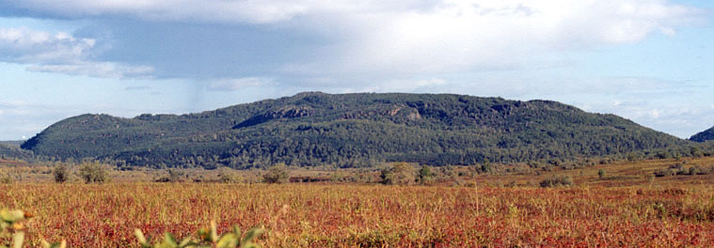
The andesitic Shisheika lava dome lies far to the west of the crest of the Sredinny Range, near the mouth of the Shishei River. The dome and associated lava flows were erupted about 4,200 years ago during one of several Holocene eruptions on the lower flanks of the Sredinny Range.
분화 이력
요약 (VEI 시계열)
막대를 클릭하면 개별 분화가 표시됩니다
상세 타임라인
- 기원전 2240년VEI ?지질학적 추정BCE 2240 ~ 진행 중
외부 링크
- 한국어 Wikipedia에 아직 기사가 없습니다. Wikidata에서 작성할 수 있습니다.
- 🔗 Smithsonian GVP 원본 페이지
⚠ 참고용 정보입니다. 재난 대응에 사용하지 마세요.