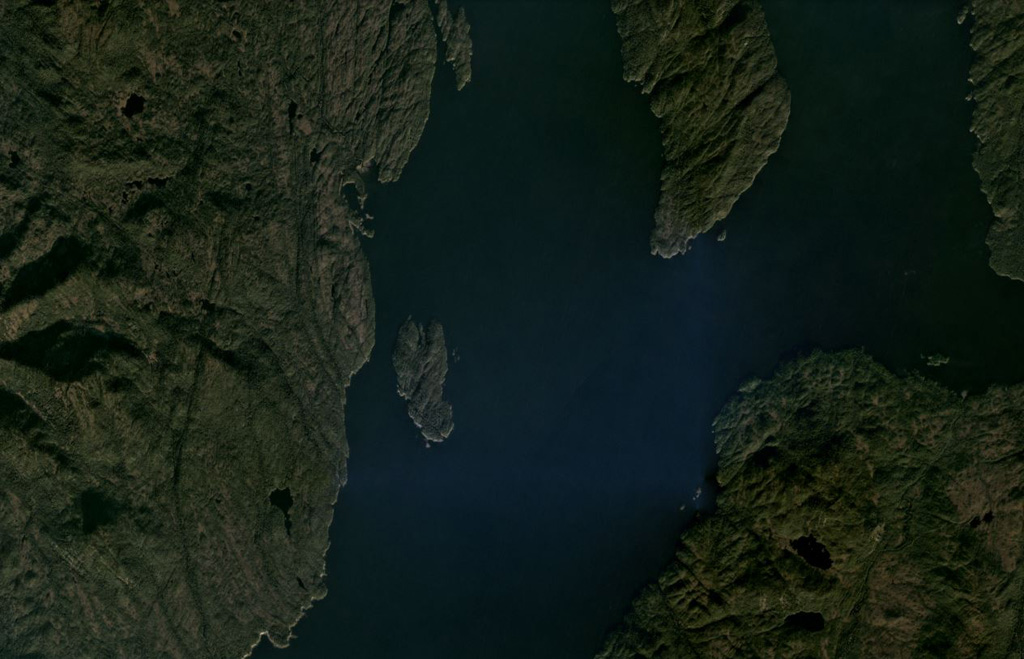
Behm Canal-Rudyerd Bay
화산대지 · United States · 500m
- 화산 유형
- 화산대지
- 국가
- United States
- 지역
- 북아메리카 / Northern Cordilleran Volcanic Province
- 해발
- 500m
- 좌표
- 55.350, -131.000
- 마지막 분화
- 미확인
- 판구조 환경
- Intraplate / Continental crust (> 25 km)
- 화산 지형
- Cluster
- 주요 암석
- Basalt / Picro-Basalt
지질학적 요약
Numerous basaltic cinder cones and lava flows occur in the panhandle of SE Alaska on both sides of Behm Canal, which divides Revillagigedo Island from the mainland. The lava flows, which are locally columnar-jointed and overlie glacial-fluvial sediments and granitic gneisses of the Coast Mountains, are located on the E and SE sides of Revillagigedo Island and at Rudyerd Bay across Behm Canal to the east. Most exposures are on SE Revillagigedo Island, but outcrops also occur on the mainland east of Behm Canal at the southern end of Punchbowl Cove at Rudyerd Bay. Undisturbed cinder cones and lava-flow surfaces at Painted Peak on SE Revillagigedo Island and elsewhere indicate that most of the activity was post-glacial (Brew, in Wood and Kienle, 1990). Pumice, lapilli, and ash deposits locally cover parts of glaciated ridge tops. Lava flows at the outlet of Lake Grace near Behm Canal on the eastern side of Revillagigedo Island were considered to be of late-Pleistocene or Holocene age (Wanek and Callahan, 1971). Minor andesitic and trachyandesitic flows are also present.
분화 이력
상세 타임라인
분화 기록이 없습니다.
외부 링크
- 한국어 Wikipedia에 아직 기사가 없습니다. Wikidata에서 작성할 수 있습니다.
- 🔗 Smithsonian GVP 원본 페이지
⚠ 참고용 정보입니다. 재난 대응에 사용하지 마세요.