Red Hill volcanic field
Red Hill-Quemado
화산대지 · United States · 2300m
- 화산 유형
- 화산대지
- 국가
- United States
- 지역
- 북아메리카 / Basin and Range Volcanic Province
- 해발
- 2300m
- 좌표
- 34.250, -108.830
- 마지막 분화
- -9450년
- 판구조 환경
- Rift zone / Continental crust (> 25 km)
- 화산 지형
- Cluster
- 주요 암석
- Basalt / Picro-Basalt
지질학적 요약
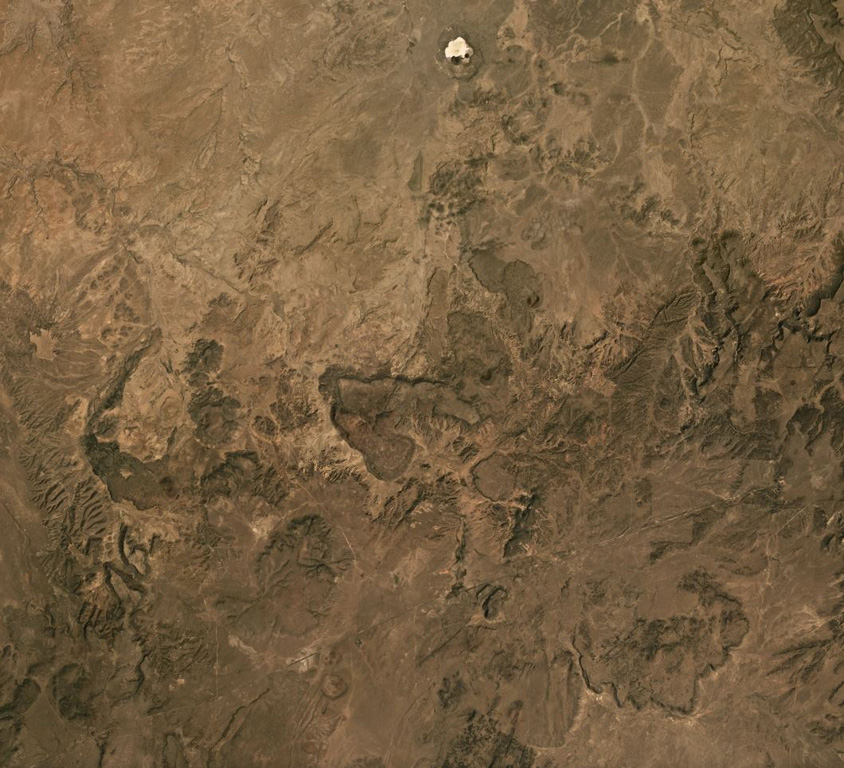
The Red Hill-Quemado volcanic field in western New Mexico is across the border from the Springerville volcanic field in Arizona and contains more than 40 cinder cones and maars that were active from the late Miocene to early Holocene. The volcanic field lies along the NE-trending Jemez Lineament that extends from SE Colorado to east-central Arizona. Dating by Onken and Forman (2017) showed that three eruptive events took place during the early Holocene, and that the 2-km-wide Zuni Salt Lake maar with its late-stage nested cinder cones was formed about 11,000-11,800 calibrated 14C years ago.
Wikipedia 요약
영어 요약Red Hill volcanic field, also known as Quemado volcanic field, is a monogenetic volcanic field located in the vicinity of the ghost town of Red Hill in Catron County New Mexico. Red Hill is 24 kilometers (15 mi) east of the larger Springerville volcanic field and includes Zuñi Salt Lake. The area is made up of scoria cone and silicic dome fields. Over 40 volcanic vents have been identified in the field. These erupted basaltic flows, with no other rock types evident in the field.
Wikipedia · CC BY-SA · 전체 기사 보기 →
분화 이력
상세 타임라인
- 기원전 9450년 (±400년)VEI ?지질학적 추정BCE 9450 ~ 진행 중Zuni Salt Lake maar
- 기원전 9700년 (±450년)VEI ?지질학적 추정BCE 9700 ~ 진행 중2.5 km radius of Zuni Salt Lake
- 기원전 9850년 (±500년)VEI ?지질학적 추정BCE 9850 ~ 진행 중Cerro Pomo?
외부 링크
⚠ 참고용 정보입니다. 재난 대응에 사용하지 마세요.