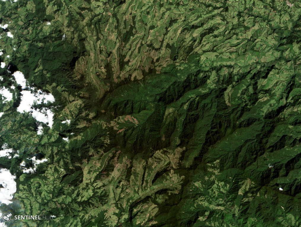
Romeral
성층화산 · Colombia · 3769m
- 화산 유형
- 성층화산
- 국가
- Colombia
- 지역
- 남아메리카 / Northern Andean Volcanic Arc
- 해발
- 3769m
- 좌표
- 5.203, -75.363
- 마지막 분화
- -5390년
- 판구조 환경
- Subduction zone / Continental crust (> 25 km)
- 화산 지형
- Composite
- 주요 암석
- Andesite / Basaltic Andesite
지질학적 요약
The andesitic-to-dacitic Romeral stratovolcano lies at the northern end of the Ruiz-Tolima volcanic chain, NW of Cerro Bravo volcano, and east of the towns of Neira and Aranzazu. It has produced two young Plinian pumice deposits covering areas to the NW. The pumice deposits are separated by a soil layer radiocarbon dated at about 8,460 and 7,340 years BP.
Wikipedia 요약
영어 요약Romeral is a stratovolcano located in Caldas, Colombia. It is the northernmost Holocene volcano of South America, of the North Volcanic Zone in the Andean Volcanic Belt. The volcano was formed in the Late Pliocene, approximately 3 million years ago.
Wikipedia · CC BY-SA · 전체 기사 보기 →
분화 이력
요약 (VEI 시계열)
막대를 클릭하면 개별 분화가 표시됩니다
상세 타임라인
- 기원전 5390년 (±350년)VEI 4지질학적 추정BCE 5390 ~ 진행 중
- 기원전 6510년 (±200년)VEI 4지질학적 추정BCE 6510 ~ 진행 중
외부 링크
⚠ 참고용 정보입니다. 재난 대응에 사용하지 마세요.