Cerro Tujle
Tujle, Cerro
마르 · Chile · 3550m
- 화산 유형
- 마르
- 국가
- Chile
- 지역
- 남아메리카 / Central Andean Volcanic Arc
- 해발
- 3550m
- 좌표
- -23.830, -67.950
- 마지막 분화
- 미확인
- 판구조 환경
- Subduction zone / Continental crust (> 25 km)
- 화산 지형
- Minor
- 주요 암석
- No Data (checked)
지질학적 요약
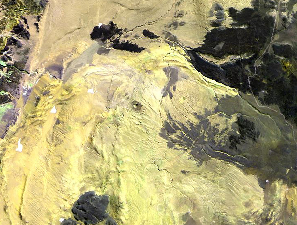
The Cerro Tujle maar (also known as Cerro Tucle or Cerro Tugle) in the Cordón de Tujle has a 60-m-deep crater (de Silva and Francis, 1991). The maar is located SE of the Salar de Atacama, N of Cerro Toloncha.
Wikipedia 요약
영어 요약Cerro Tujle is a mafic volcanic centre in the Central Volcanic Zone of the Andes, Chile. It forms a 60-metre-deep (200 ft) maar that may have formed half a million years ago. Its eruption products are aphyric. Previously in 1977, this crater has been identified as a meteor crater with diameters of 300 by 350 metres.
Wikipedia · CC BY-SA · 전체 기사 보기 →
분화 이력
상세 타임라인
분화 기록이 없습니다.
외부 링크
⚠ 참고용 정보입니다. 재난 대응에 사용하지 마세요.