Heidarspordar
열극 분화구 · Iceland · 490m
- 화산 유형
- 열극 분화구
- 국가
- Iceland
- 지역
- 대서양 / Iceland Neovolcanic Rift Volcanic Province
- 해발
- 490m
- 좌표
- 65.583, -16.817
- 마지막 분화
- -300년
- 판구조 환경
- Rift zone / Oceanic crust (< 15 km)
- 화산 지형
- Cluster
지질학적 요약
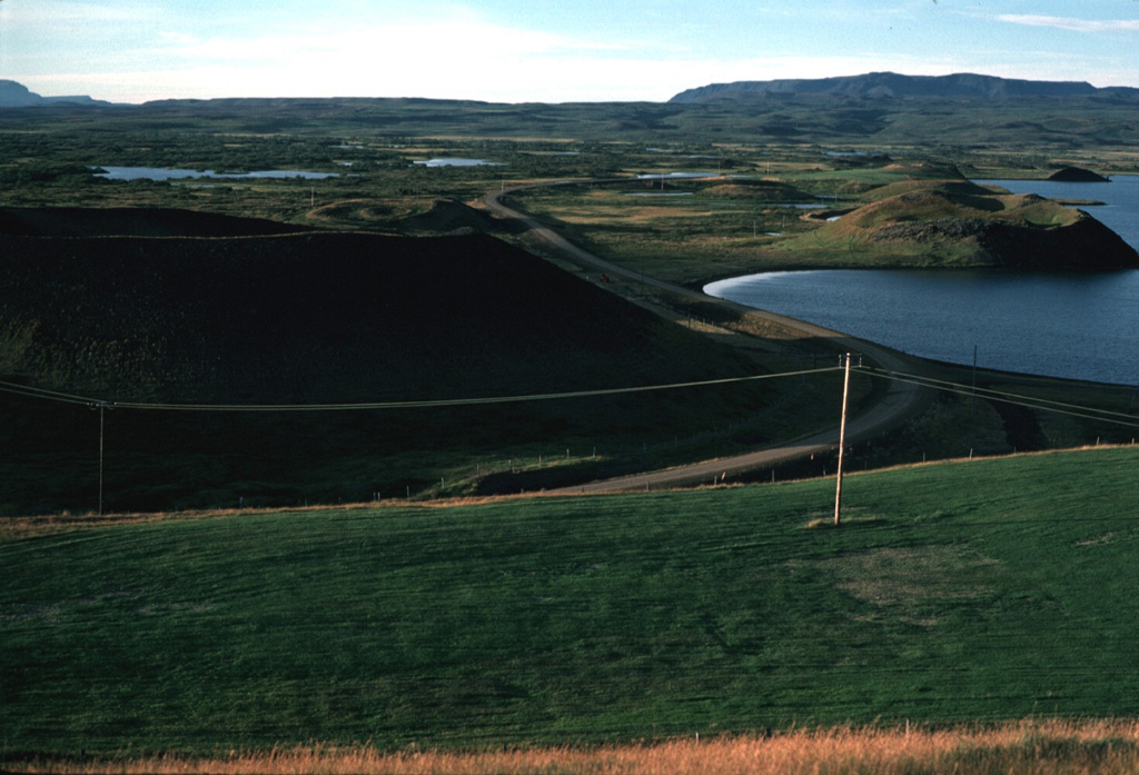
The Heiðarsporðar volcanic system in the Northern Volcanic Zone is about 22 km long, consisting of a fissure swarm and a central volcano. It is embryonic, starting to develop in the marginal area of two adjacent fissure areas, Krafla and Fremrinámar, producing large-volume eruptions. No geothermal activity is present. Magma composition ranges from olivine-tholeiite through tholeiitic basalt and basaltic andesite to dacite. Characteristic activity consists of effusive basaltic eruptions and small predominantly effusive silicic eruptions. It has shown rather low activity in the Holocene but has produced substantial basaltic lava flows. Two eruptive periods have occurred in Holocene time separated by over 8,000 years. The last eruption took place about 2,200 years ago, producing a lava flow covering about 220 km2 and extending 60 km from source.
Wikipedia 요약
영어 요약The Heiðarsporðar volcanic system is located in northeast Iceland near Lake Mývatn. It is the source of numerous formations present in and around the lake, particularly in the form of pseudocraters.
Wikipedia · CC BY-SA · 전체 기사 보기 →
분화 이력
상세 타임라인
- 기원전 300년VEI 2지질학적 추정BCE 300 ~ 진행 중Threngslaborgir-Ludentsborgir crater row
- 기원전 4050년VEI 0지질학적 추정BCE 4050 ~ 진행 중Ludent crater rows
- 기원전 5750년VEI 0지질학적 추정BCE 5750 ~ 진행 중Fjarborg
- 기원전 6150년VEI 0지질학적 추정BCE 6150 ~ 진행 중Drangagrundahraun
- 기원전 6950년VEI 0지질학적 추정BCE 6950 ~ 진행 중Hraunbunga
- 기원전 7400년 (±300년)VEI 0지질학적 추정BCE 7400 ~ 진행 중Heidarspordur
- 기원전 7850년VEI ?지질학적 추정BCE 7850 ~ 진행 중Ludent, Namafjall-Krofluhals
외부 링크
⚠ 참고용 정보입니다. 재난 대응에 사용하지 마세요.