영섬
Young Island
성층화산 · Antarctica · 1340m
- 화산 유형
- 성층화산
- 국가
- Antarctica
- 지역
- 남극·스코샤 / Balleny Hotspot Volcano Group
- 해발
- 1340m
- 좌표
- -66.420, 162.470
- 마지막 분화
- 미확인
- 판구조 환경
- Rift zone / Oceanic crust (< 15 km)
- 화산 지형
- Composite
- 주요 암석
- Trachybasalt / Tephrite Basanite
지질학적 요약
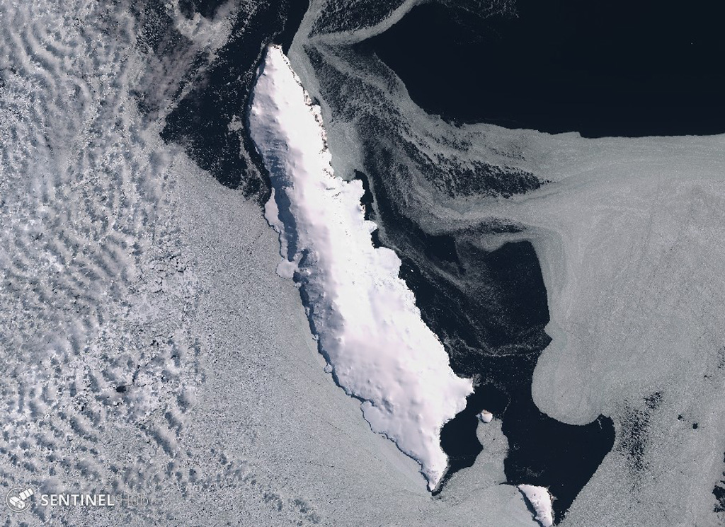
Young Island is the northernmost and second largest of the Balleny Islands off the coast of Antarctica's Victoria Land. Captain Balleny, the discoverer of the islands, reported "smoke" issuing from Freeman Peak on Young Island on 12 February 1839. The island, almost completely mantled by ice, has a broad plateau-like summit reaching 1340 m.
Wikipedia 요약
영어 요약Young Island is the northernmost and westernmost of the three main islands in the uninhabited Balleny Islands group located in the Southern Ocean. It lies 8 kilometres (5.0 mi) northwest of Buckle Island, some 115 kilometres (71 mi) north-northeast of Belousov Point on the Antarctic mainland.
Wikipedia · CC BY-SA · 전체 기사 보기 →
분화 이력
상세 타임라인
분화 기록이 없습니다.
외부 링크
⚠ 참고용 정보입니다. 재난 대응에 사용하지 마세요.